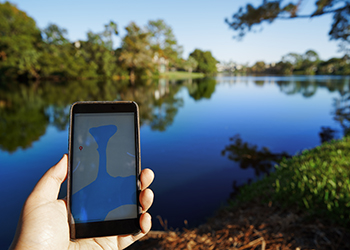
 How many times have you turned to a map to find the closest park, best restaurant or most desirable housing development? Whenever we use a map in this way, we are essentially analyzing its contents to help us make a decision. We do this by finding patterns, filtering unwanted information, and assessing trends. This process is called “spatial analysis” and its how our eyes and minds naturally formulate information when we look at a map.
The most common technology used to perform spatial analysis is called ArcGIS. ArcGIS is a desktop suite of GIS applications used to leverage the power of mapping and spatial data, allowing any user to obtain a wide array of invaluable insights. Through spatial analysis, users can measure changes in storm activity over several decades, identify disease outbreaks, or observe anthropogenic encroachment of greenspace within an area of rapid population growth.
While ArcGIS offers any industry the ability to perform spatial analysis, it is now an essential tool of the trade for those working in the field of Population and Public Health. With rising world-wide environmental and health concerns, researchers and health leaders can use ArcGIS and spatial analysis to tackle these problems: they can map disease occurrence, determine clustering of disease incidence, and measure the association between disease and relevant environmental factors. And of course – they can produce lots and lots maps! Using these techniques, health researchers and organizational leaders enjoy the benefits of uncovering and assessing health problems from both a big picture/macroscopic lens, and a focussed/microscopic community perspective.
Using ArcGIS to map and analyze environmental and health information to support the local and national health needs of our society is an integral part of the applied skills training offered in the Population Health and Geographic Information Systems (PHDA 03) course. This course is accessible and valuable to first-time GIS users and seasoned public health practitioners alike. The next offering of PHDA03 is in fall 2021.
Learn more about this topic or enrol in our upcoming course.